- Undergraduate
- Research
- Off-Campus Study
- News & Events
- People
Back to Top Nav
Back to Top Nav
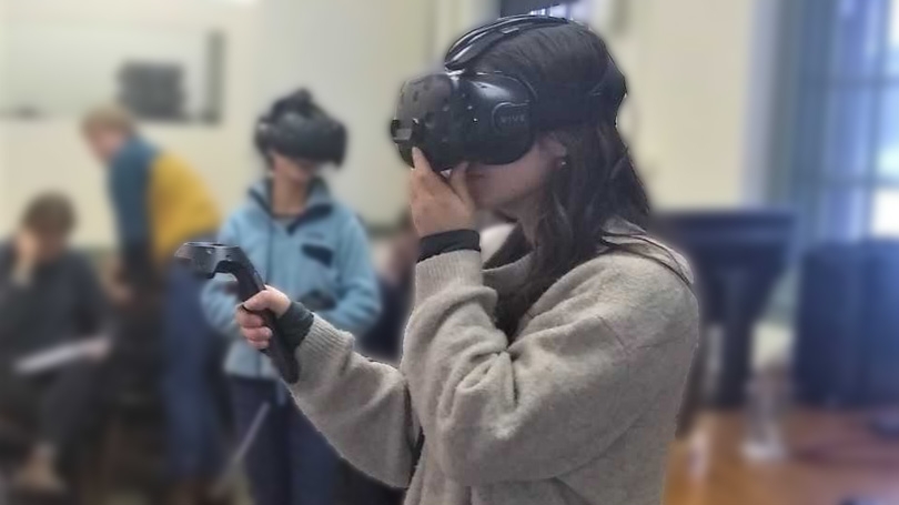
With support from the Neukom CompX fund, the Citrin Family GIS/Applied Spatial Analysis lab is developing new technology for immersive 3D visualization of geographic “big data”.
This spring, the Citrin Family GIS/Applied Spatial Analysis Lab is expanding into Virtual Reality.
With support from the Neukom CompX program, Citrin Lab director Jonathan Chipman is developing new technology for advanced “immersive 3D” data visualization, allowing users to explore and interact with massive 3D models of landscapes and other large spatial datasets.
Geographic data visualization (geovisualization) is rapidly becoming central to the spatial sciences, due to advances in remote sensing (lidar, photogrammetry), big databases, and computational technology. Yet the field is only beginning to consider the use of immersive 3D, virtual reality (VR), and augmented reality (AR) for visual exploration, interpretation, and analysis of geospatial data.
There are a wide array of research and teaching applications that will be revolutionized by the adoption of VR: for example, enabling field work in inaccessible or environmentally-sensitive sites, exploring past landscapes and archaeological sites, and allowing students to contribute to field research in remote areas where travel is prohibitively expensive.
The Citrin Lab is expanding its infrastructure for VR development and operations, including hardware (VR-enabled desktop and mobile workstations), software, and visualization equipment, for use in both teaching and research. Faculty and staff from departments across campus will be able to use the equipment in situ or borrow mobile setups for use elsewhere on campus as needed.